The ECC Blog

Our latest thinking on the issues that matter most to the hydrographic and maritime communities.

Survey vessel measuring seabed using advanced multibeam echosounder. (Credit: Bente Berggraf/Kartverket)

How S-102 Bathymetric Data is Produced

When you download detailed depth data encoded in accordance with the new S-102 standard, it has undergone an extensive ...
Read more

Leveraging S-102 Data to Simulate the Port Approach of the World’s Largest Cruise Ship

Together with other maritime industry players, the Port of Stavanger and the Electronic Chart...

Read more

S-100 Data – Not Only for Navigation

S-100 data can generate significant value not only for navigation but for the maritime industry as...

Read more

Helping the Canadian Hydrographic Service (CHS) Leverage S-100 Data

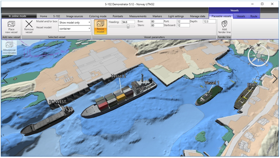
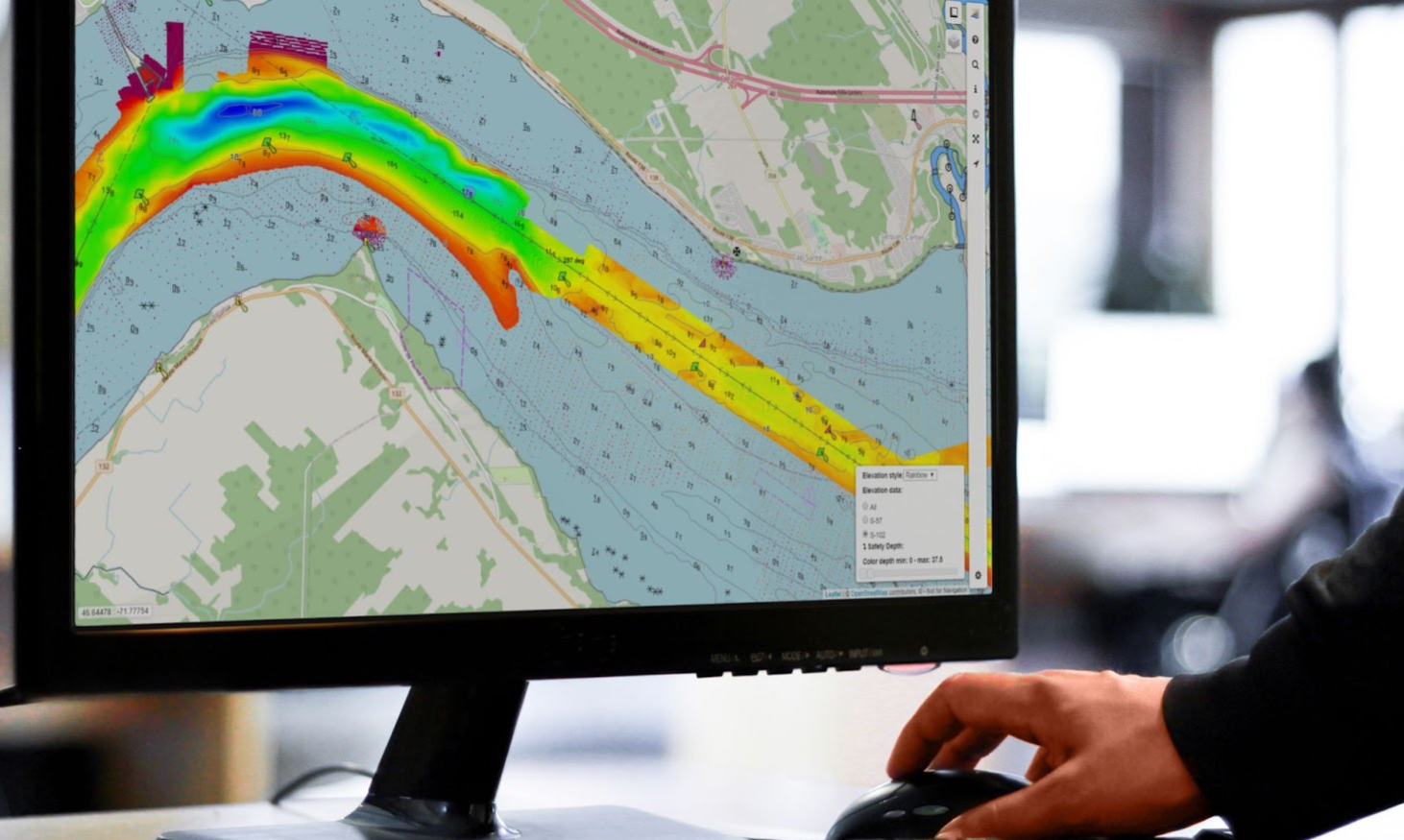
With the help of the Electronic Chart Centre (ECC) and PRIMAR, the Canadian Hydrographic Service...

Read more

How S-100 Data Enabled the Safe Port Approach of the World’s Largest Crane Vessel

S-100 data collected and made available by the Electronic Chart Centre (ECC) helped the world’s...

Read more

Supporting S-100 Products in Navigation Software: A Call to Action for Marine System Developers

As the maritime industry enters the S-100 Decade, developing support for S-100 datasets and...

Read more

S-100 Data: What It Is, How It Works and Why You Should Care

After decades of using S-57 data for navigation, a new generation of digital products and services...

Read more

Free access to S-1xx test data

Test data and connection setup for PRIMAR
Access now!