The ECC Blog

Our latest thinking on the issues that matter most to the hydrographic and maritime communities.

S-100: The Digitalization of Safety, Efficiency, and Sustainability at Sea

S-100: The Digitalization of Safety, Efficiency, and Sustainability at Sea

The story of charts and hydrographic data in recent decades is the story of digitalization. Standing on the threshold of the S-100-era, we expect great progress in terms of efficiency, sustainable profitability, and safety at sea.
S-101 ENC: What It Is, Why It is Important and When It Becomes Available

S-101 ENC: What It Is, Why It is Important and When It Becomes Available

Existing S-57 based Electronic Navigational Charts (ENCs) will gradually be replaced by a new standard to accommodate the maritime industry’s digital transformation. OEMs should act rapidly to develop support for future S-101 ENCs. This article gives you the information you need about the new S-101 Standard.
IHO S-129 - Test Proves Situational Achievements In Maritime Operation

IHO S-129 - Test Proves Situational Achievements In Maritime Operation

The S-100 Demonstrator project proves in an operational test how new technology can be used in practice, and how implementation and use of S-129 in confined and challenging waters can create added value for the maritime industry.
S-100 Data Not Only for Navigation

S-100 Data – Not Only for Navigation

S-100 data can generate significant value not only for navigation but for the maritime industry as a whole. This article tells you how.
S-100 Data

S-100 Data: What It Is, How It Works and Why You Should Care

After decades of using S-57 data for navigation, a new generation of digital products and services promises to empower hydrographic, maritime and GIS communities with data that pushes traditional hydrography boundaries.
Container ship at port. Cranes and other vessels in the background.

S-102 in Ports: Five Operational Benefits You Can Test Today

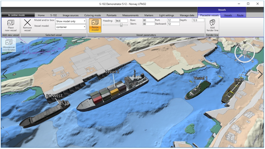
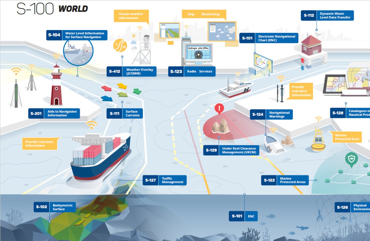
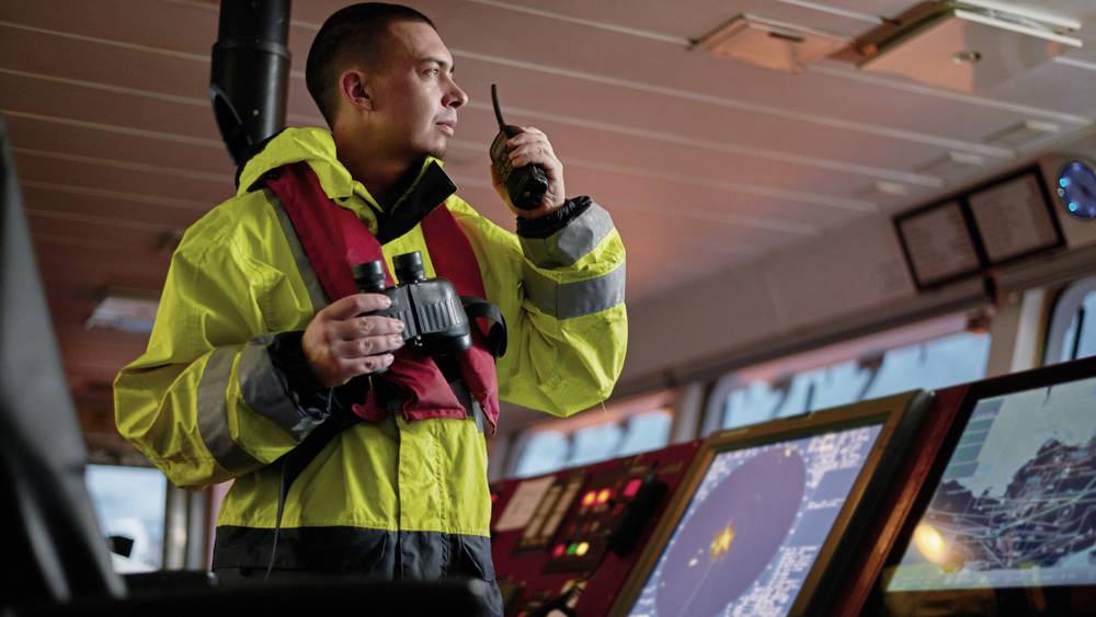
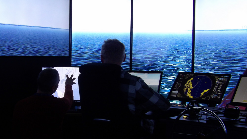
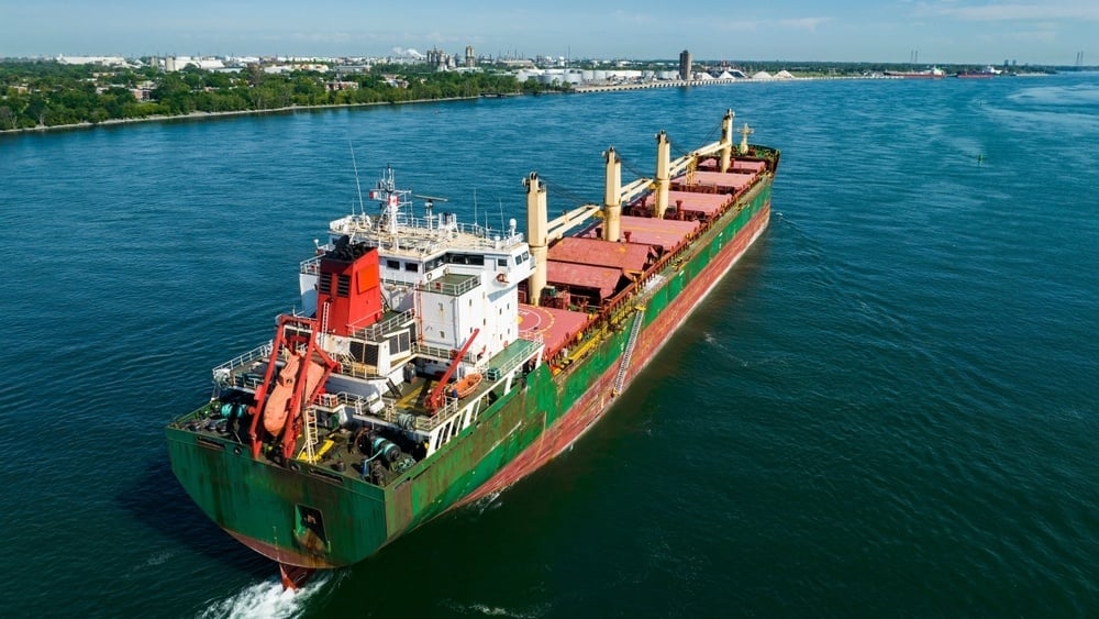
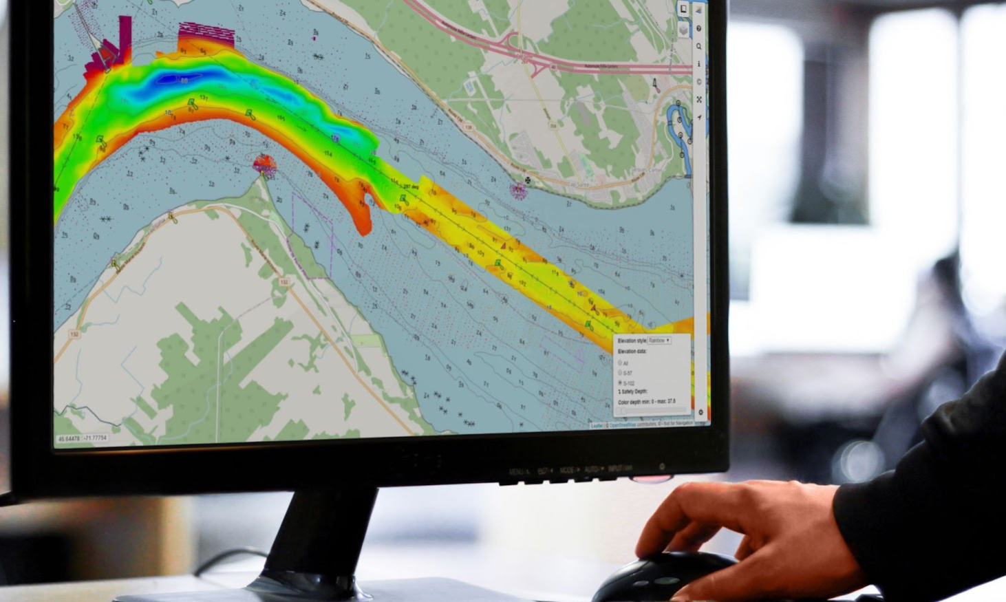
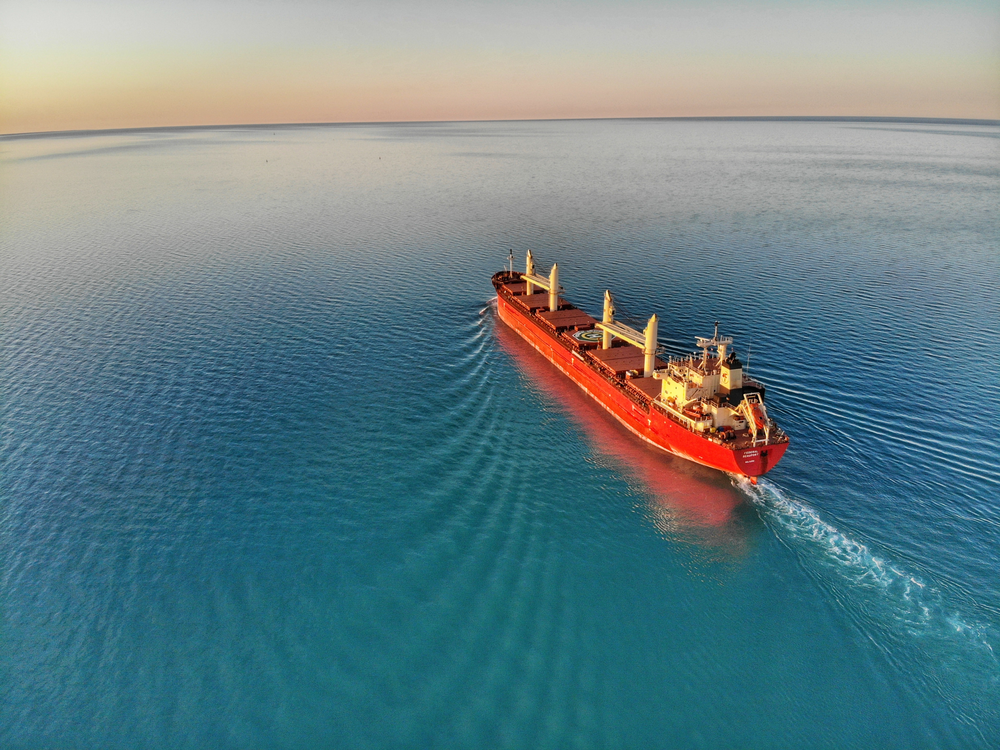
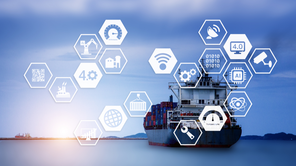
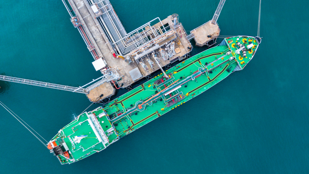
High-resolution depth data will reshape port operations, enabling more precise planning and more predictable performance. This article outlines five practical benefits ports can start testing today using S-102 bathymetry as part of the S-100 framework.
S-100 Data Canadian Hydrographic Service

Helping the Canadian Hydrographic Service (CHS) Leverage S-100 Data

With the help of the Electronic Chart Centre (ECC) and PRIMAR, the Canadian Hydrographic Service (CHS) successfully leverages the new S-100 paradigm with a brand-new service for S-100 data service and products.
Aerial view of cargo ship on St. Lawrence River to illustrate navigation with S-100 products.

Canada S-100 Sea Trials: PRIMAR at the Core of Data Delivery

The first large-scale test of S-100 products will take place in Canada’s challenging waterways from June 2025. During the Canada S-100 Sea Trials, participants will engage in maritime planning, navigation, and monitoring using the new S-100 products. At the heart of the trials, PRIMAR will ensure secure distribution of the various data types.
S-100: The Digitalization of Safety, Efficiency, and Sustainability at Sea

S-100: The Digitalization of Safety, Efficiency, and Sustainability at Sea

The story of charts and hydrographic data in recent decades is the story of digitalization. Standing on the threshold of the S-100-era, we expect great progress in terms of efficiency, sustainable profitability, and safety at sea.
The bulk freighter, Federal Beaufort, leaves the St. Clair River and heads out into Lake Huron

Thinking Ahead: How PRIMAR Is Pushing For an S-100 Future That's Already Here

The maritime community has always relied on charts, and today the hydrographic, maritime, and GIS communities are stepping into the digital age with S-100-based ENCs. As a key player in this development, PRIMAR is pushing forward toward a future where S-100 is the standard in all operations and transportation at sea.
ECC - Your Maritime Safety Partner

ECC - Your Maritime Safety Partner

Since the 13th century, the "nautical chart" with different descriptions of and for seafarers has been an important tool. But it was not until around the year 1700 that the first national "nautical charts work" under public auspices were mapped over the Norwegian coast. The product was then classified with restrictions on general use, due to national security.
SEAiq S-100 data

SEAiq – An S-100 Data Trailblazer

As the S-100 era emerges on the horizon, promising to supply hydrographic and maritime communities with a range of new and helpful digital products and services, marine software developers increasingly strive to offer support. Leading the charge is the innovative software developer SEAiq.
S-101 ENC: What It Is, Why It is Important and When It Becomes Available

S-101 ENC: What It Is, Why It is Important and When It Becomes Available

Existing S-57 based Electronic Navigational Charts (ENCs) will gradually be replaced by a new standard to accommodate the maritime industry’s digital transformation. OEMs should act rapidly to develop support for future S-101 ENCs. This article gives you the information you need about the new S-101 Standard.
S-101 Standard Maritime Benefits

The Benefits of the New S-101 Standard for Maritime End-Users

The new S-100 standard is under development, promising to support a wide variety of hydrographic digital data sources and products and accommodate the current maritime industry digital transformation. One of the most significant S-100 products is the new standard for S-101 ENCs.
IHO S-129 - Test Proves Situational Achievements In Maritime Operation

IHO S-129 - Test Proves Situational Achievements In Maritime Operation

The S-100 Demonstrator project proves in an operational test how new technology can be used in practice, and how implementation and use of S-129 in confined and challenging waters can create added value for the maritime industry.
S-100 Data Not Only for Navigation

S-100 Data – Not Only for Navigation

S-100 data can generate significant value not only for navigation but for the maritime industry as a whole. This article tells you how.
S-100 Data Canadian Hydrographic Service

Helping the Canadian Hydrographic Service (CHS) Leverage S-100 Data

With the help of the Electronic Chart Centre (ECC) and PRIMAR, the Canadian Hydrographic Service (CHS) successfully leverages the new S-100 paradigm with a brand-new service for S-100 data service and products.
Two male operatives testing bridge equipment in SAMK’s maritime simulators in Rauma, Finland. (Photo: SAMK)

PRIMAR Enhances Safety and Efficiency in Baltic Sea Navigation

PRIMAR plays a key role in the Baltic Sea e-Nav project by ensuring quality control, testing and distribution of new S-100 products for safer, more efficient, and environmentally friendly navigation. Through collaboration with producers and users of navigation data, PRIMAR contributes to improving navigational data and technology across national borders.
S-100 Data Canadian Hydrographic Service

Helping the Canadian Hydrographic Service (CHS) Leverage S-100 Data

With the help of the Electronic Chart Centre (ECC) and PRIMAR, the Canadian Hydrographic Service (CHS) successfully leverages the new S-100 paradigm with a brand-new service for S-100 data service and products.
SEAiq S-100 data

SEAiq – An S-100 Data Trailblazer

As the S-100 era emerges on the horizon, promising to supply hydrographic and maritime communities with a range of new and helpful digital products and services, marine software developers increasingly strive to offer support. Leading the charge is the innovative software developer SEAiq.
IHO S-129 - Test Proves Situational Achievements In Maritime Operation

IHO S-129 - Test Proves Situational Achievements In Maritime Operation

The S-100 Demonstrator project proves in an operational test how new technology can be used in practice, and how implementation and use of S-129 in confined and challenging waters can create added value for the maritime industry.
Stavanger Bjergsted S-100 Data

Leveraging S-102 Data to Simulate the Port Approach of the World’s Largest Cruise Ship

Together with other maritime industry players, the Port of Stavanger and the Electronic Chart Centre (ECC) simulated the port approach of the world’s largest cruise ship into a planned new quay located in Bjergsted, Stavanger.
S-100 Data Canadian Hydrographic Service

Helping the Canadian Hydrographic Service (CHS) Leverage S-100 Data

With the help of the Electronic Chart Centre (ECC) and PRIMAR, the Canadian Hydrographic Service (CHS) successfully leverages the new S-100 paradigm with a brand-new service for S-100 data service and products.
S-100 Data Sleipnir

How S-100 Data Enabled the Safe Port Approach of the World’s Largest Crane Vessel

S-100 data collected and made available by the Electronic Chart Centre (ECC) helped the world’s largest crane vessel, Sleipnir, sail safely through narrow waters and into the Haugesund harbour.